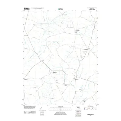
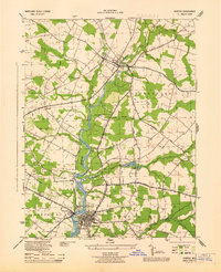
2011 Map of Goldsboro
USGS Topo · Published 2011About this map
Goldsboro and Henderson anchor this survey of rural Caroline County, where small agricultural crossroads and water-management networks define the landscape. The geography is characterized by a sophisticated drainage system including Beetree Ditch, Edenburg Ditch, and Beaverdam Ditch, which channel water through the low-lying terrain into the Mason Branch and Choptank River. These watercourses have long shaped the settlement patterns of the Eastern Shore, supporting local farming operations like Highland Farm.
Find a feature on this map
81 named features on this map. Tap any name to fly to it.
Don’t see what you’re looking for? This feature index may not catch every label — zoom into the map to look around manually.
Map Details
Editions of this 2011 Goldsboro Map
This is the sole edition of this map. No revisions or reprints were ever made.
Other maps of this area

1899 · Dover
USGS Topo · 1:125,000

1905 · Denton
USGS Topo · 1:62,500
1905 · Barclay
USGS Topo · 1:62,500

1906 · Dover
USGS Topo · 1:125,000
1918 · Harrington
USGS Topo · 1:62,500

1920 · Dover
USGS Topo · 1:125,000

1926 · Wyoming
USGS Topo · 1:48,000

1930 · Wyoming
USGS Topo · 1:62,500
1931 · Wyoming
USGS Topo · 1:62,500
1944 · Denton
USGS Topo · 1:31,680