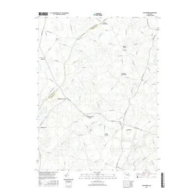
2017 Map of Goldsboro
USGS Topo · Published 2017About this map
The boundary between Queen Anne's Co and Caroline Co divides this rural landscape, defined by a network of drainage ditches and small agricultural settlements. The eastern portion is anchored by the town of Goldsboro, situated near the headwaters of the Choptank River and Lake Bonnie. Numerous crossroads communities, including Melville Crossroads, Kane Crossroads, and Baltimore Corner, reflect the area's historical reliance on localized trade and transit hubs.
Find a feature on this map
91 named features on this map. Tap any name to fly to it.
Don’t see what you’re looking for? This feature index may not catch every label — zoom into the map to look around manually.
Map Details
Editions of this 2017 Goldsboro Map
This is the sole edition of this map. No revisions or reprints were ever made.
Other maps of this area

1899 · Dover
USGS Topo · 1:125,000

1905 · Denton
USGS Topo · 1:62,500

1905 · Barclay
USGS Topo · 1:62,500

1906 · Dover
USGS Topo · 1:125,000

1918 · Harrington
USGS Topo · 1:62,500

1920 · Dover
USGS Topo · 1:125,000

1926 · Wyoming
USGS Topo · 1:48,000

1930 · Wyoming
USGS Topo · 1:62,500

1931 · Wyoming
USGS Topo · 1:62,500

1944 · Denton
USGS Topo · 1:31,680