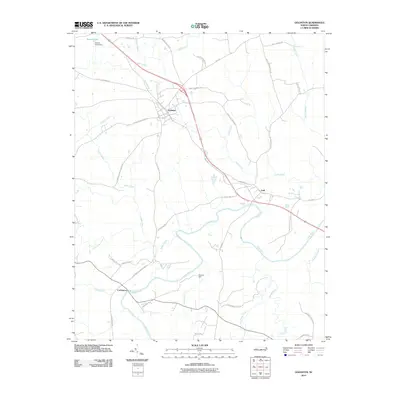
2010 Map of Goldston
USGS Topo · Published 2010About this map
Deep River winds through the southern half of this landscape, forming the geographic heart of a region defined by its watercourses and small rural hubs. The town of Goldston sits at the northern crossroads, while the small communities of Gulf and Carbonton anchor the riverfront area. This 2010 survey details a network of secondary roads that link long-standing family landholdings and farmsteads, many of which carry names like Ralph Sipes Rd and Walter Lambert Rd, reflecting the deep-rooted local genealogy of Chatham County.
Find a feature on this map
47 named features on this map. Tap any name to fly to it.
Don’t see what you’re looking for? This feature index may not catch every label — zoom into the map to look around manually.
Map Details
Editions of this 2010 Goldston Map
This is the sole edition of this map. No revisions or reprints were ever made.
Other maps of this area

1953 · Raleigh
USGS Topo · 1:250,000

1954 · Raleigh
USGS Topo · 1:250,000

1969 · Siler City
USGS Topo · 1:24,000

1970 · Goldston
USGS Topo · 1:24,000

1970 · Pittsboro
USGS Topo · 1:24,000

1970 · Colon
USGS Topo · 1:24,000

1970 · Bear Creek
USGS Topo · 1:24,000

1970 · Siler City NE
USGS Topo · 1:24,000

1974 · White Hill
USGS Topo · 1:24,000

1974 · Putnam
USGS Topo · 1:24,000