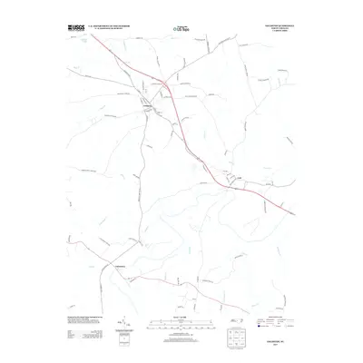
2013 Map of Goldston
USGS Topo · Published 2013About this map
Goldston serves as a central hub in this part of Chatham County, where a network of rural routes like Meronies Church Rd and Reno Sharps Store Rd connect small settlements and outlying farmsteads. The landscape is defined by the winding paths of Bear Cr and Indian Cr, which drain the rolling terrain south toward the Deep River basin. Further south, the communities of Gulf and Carbonton anchor the map, showing the enduring structure of these historic railroad-and-river towns.
Find a feature on this map
88 named features on this map. Tap any name to fly to it.
Don’t see what you’re looking for? This feature index may not catch every label — zoom into the map to look around manually.
Map Details
Editions of this 2013 Goldston Map
This is the sole edition of this map. No revisions or reprints were ever made.
Other maps of this area

1953 · Raleigh
USGS Topo · 1:250,000

1954 · Raleigh
USGS Topo · 1:250,000

1969 · Siler City
USGS Topo · 1:24,000

1970 · Goldston
USGS Topo · 1:24,000

1970 · Pittsboro
USGS Topo · 1:24,000

1970 · Colon
USGS Topo · 1:24,000

1970 · Bear Creek
USGS Topo · 1:24,000

1970 · Siler City NE
USGS Topo · 1:24,000

1974 · White Hill
USGS Topo · 1:24,000

1974 · Putnam
USGS Topo · 1:24,000