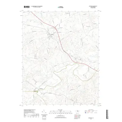
2019 Map of Goldston
USGS Topo · Published 2019About this map
Goldston serves as a primary settlement node in this 2019 survey of the North Carolina piedmont, where the land transitions through the Deep River basin. This waterway meanders across the lower half of the quadrangle, defining the southern border near Carbonton where Chatham, Moore, and Lee counties converge. The drainage network is dense, with systems like Bear Cr, Indian Cr, and Pocket Cr carving the terrain between rural corridors like Pittsboro Goldston Rd and S Plank Rd. Small communities such as Gulf are situated along the primary transit lines, including the modern route of Old US Hwy 421 S. The map details a landscape of managed timber and agricultural parcels, punctuated by water features like Roscoe Pond in the northwestern corner.
Find a feature on this map
80 named features on this map. Tap any name to fly to it.
Don’t see what you’re looking for? This feature index may not catch every label — zoom into the map to look around manually.
Map Details
Editions of this 2019 Goldston Map
This is the sole edition of this map. No revisions or reprints were ever made.
Other maps of this area
1953 · Raleigh
USGS Topo · 1:250,000
1954 · Raleigh
USGS Topo · 1:250,000
1969 · Siler City
USGS Topo · 1:24,000
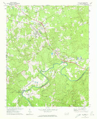
1970 · Goldston
USGS Topo · 1:24,000
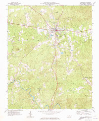
1970 · Pittsboro
USGS Topo · 1:24,000
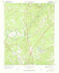
1970 · Colon
USGS Topo · 1:24,000
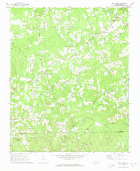
1970 · Bear Creek
USGS Topo · 1:24,000
1970 · Siler City NE
USGS Topo · 1:24,000
1974 · White Hill
USGS Topo · 1:24,000
1974 · Putnam
USGS Topo · 1:24,000