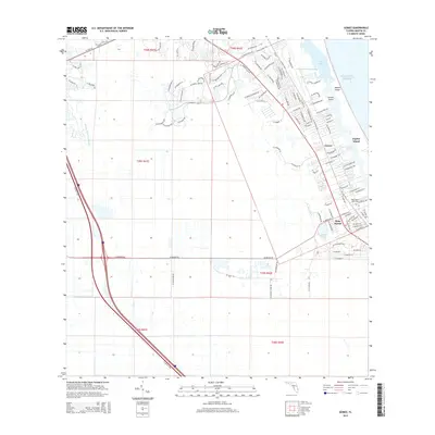
2015 Map of Gomez
USGS Topo · Published 2015About this map
Jupiter Island and the coastal settlements of Gomez and Hobe Sound define this Atlantic shoreline landscape. The map illustrates a dense network of residential streets and local connectors like SE Bridge Rd and SE Dixie Hwy, which facilitate movement between the inland corridor and the waterfront. The Intracoastal Waterway serves as a central artery, separating the mainland from the barrier islands and creating distinct hydrological features such as South Jupiter Narrows and Peck Lake.
Find a feature on this map
106 named features on this map. Tap any name to fly to it.
Don’t see what you’re looking for? This feature index may not catch every label — zoom into the map to look around manually.
Map Details
Editions of this 2015 Gomez Map
This is the sole edition of this map. No revisions or reprints were ever made.
Other maps of this area
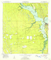
1948 · Palm City
USGS Topo · 1:24,000
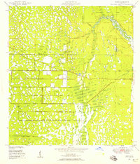
1948 · Rood
USGS Topo · 1:24,000
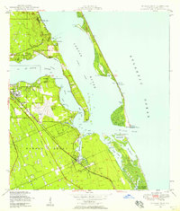
1948 · St. Lucie Inlet
USGS Topo · 1:24,000
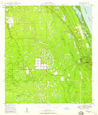
1948 · Gomez
USGS Topo · 1:24,000
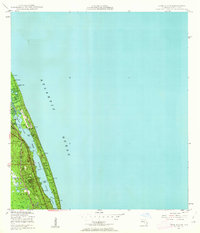
1948 · Hobe Sound
USGS Topo · 1:24,000
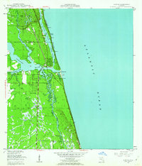
1948 · Jupiter
USGS Topo · 1:24,000
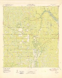
1949 · Rood
USGS Topo · 1:24,000
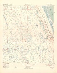
1949 · Gomez
USGS Topo · 1:24,000
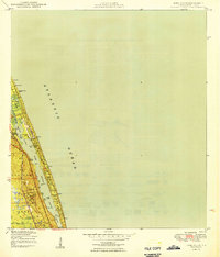
1949 · Hobe Sound
USGS Topo · 1:24,000
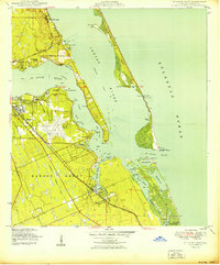
1950 · St. Lucie Inlet
USGS Topo · 1:24,000