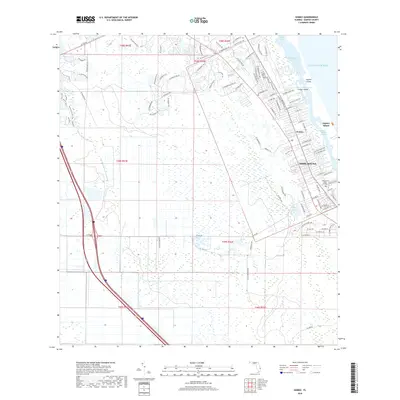
2018 Map of Gomez
USGS Topo · Published 2018About this map
Jupiter Island and the coastal community of Hobe Sound define this stretch of the Florida coastline, where the Indian River Lagoon and Intracoastal Waterway separate the barrier island from the mainland. The settlement of Gomez sits just north of the more densely developed Hobe Sound area, illustrating the residential expansion along the eastern seaboard. To the west, the landscape is defined by extensive wetlands and the winding course of the South Fork Saint Lucie River, contrasting with the planned street grids and golf course communities like those near Peck Lake. Higher-density institutional presence is noted at Hobe Sound Bible College, while the surrounding terrain remains a complex network of waterways, including Banner Lake and the South Jupiter Narrows, reflecting the area's maritime-focused development.
Find a feature on this map
101 named features on this map. Tap any name to fly to it.
Don’t see what you’re looking for? This feature index may not catch every label — zoom into the map to look around manually.
Map Details
Editions of this 2018 Gomez Map
This is the sole edition of this map. No revisions or reprints were ever made.
Other maps of this area
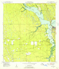
1948 · Palm City
USGS Topo · 1:24,000
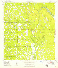
1948 · Rood
USGS Topo · 1:24,000
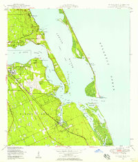
1948 · St. Lucie Inlet
USGS Topo · 1:24,000
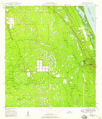
1948 · Gomez
USGS Topo · 1:24,000
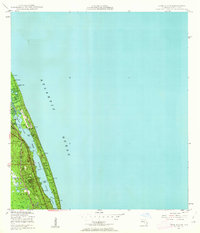
1948 · Hobe Sound
USGS Topo · 1:24,000
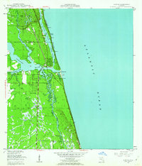
1948 · Jupiter
USGS Topo · 1:24,000
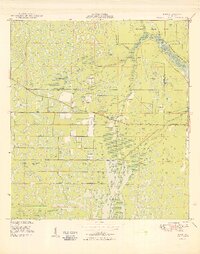
1949 · Rood
USGS Topo · 1:24,000
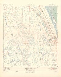
1949 · Gomez
USGS Topo · 1:24,000
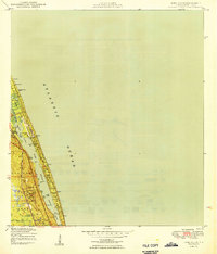
1949 · Hobe Sound
USGS Topo · 1:24,000
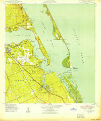
1950 · St. Lucie Inlet
USGS Topo · 1:24,000