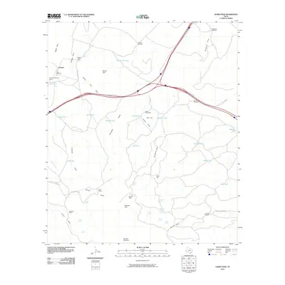
2010 Map of Gomez Peak
USGS Topo · Published 2010About this map
Gomez Peak and the surrounding high desert of Culberson County define this landscape of ranching and water management. Centered on the settlement of Levinson, the map documents a network of private holdings including the Cowan Homestead, Cowden Ranch, and Stocks Ranch. This arid environment is marked by an extensive system of draws and tanks essential for livestock, such as Adobe Draw, Ninemile Draw, and Clay Tank. Higher elevations like Newman Peak and Woulfter Mountain overlook the lowlands, where Levinson Reservoir and various windmills, including the Arbor Windmill and Bankhead Windmill, provide critical water infrastructure. The presence of these named camps and ranches illustrates the enduring legacy of wide-ranging Texas cattle operations and the strategic importance of reliable water sources like San Martine Spring and Cold Spring in the Trans-Pecos region.
Find a feature on this map
58 named features on this map. Tap any name to fly to it.
Don’t see what you’re looking for? This feature index may not catch every label — zoom into the map to look around manually.
Map Details
Editions of this 2010 Gomez Peak Map
This is the sole edition of this map. No revisions or reprints were ever made.
Other maps of this area

1894 · Valentine
USGS Topo · 1:125,000

1894 · Fort Davis
USGS Topo · 1:125,000

1897 · Valentine
USGS Topo · 1:125,000

1897 · Fort Davis
USGS Topo · 1:125,000

1921 · Toyah
USGS Topo · 1:125,000

1928 · Kent
USGS Topo · 1:125,000

1943 · Valentine
USGS Topo · 1:125,000

1954 · Van Horn
USGS Topo · 1:250,000

1954 · Pecos
USGS Topo · 1:250,000

1954 · Fort Stockton
USGS Topo · 1:250,000