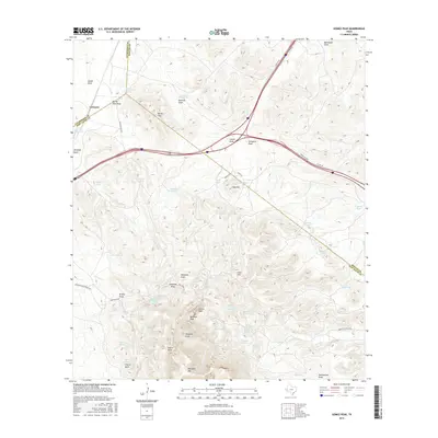
2016 Map of Gomez Peak
USGS Topo · Published 2016About this map
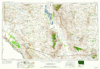
Gomez Peak and Newman Peak anchor the high ground in this West Texas landscape where Culberson, Reeves, and Jeff Davis counties meet. The small settlement of Levinson sits near the western edge of the map, situated among the drainage of Adobe Draw and Spring Hills Draw. This high-altitude terrain is defined by its water sources, with numerous named springs and tanks like San Martine Spring and Indian Springs providing critical focal points across the arid expanse.
Find a feature on this map
61 named features on this map. Tap any name to fly to it.
Don’t see what you’re looking for? This feature index may not catch every label — zoom into the map to look around manually.
Map Details
Editions of this 2016 Gomez Peak Map
This is the sole edition of this map. No revisions or reprints were ever made.
Other maps of this area
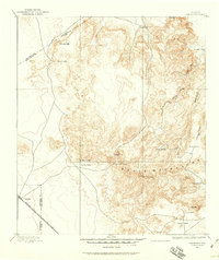
1894 · Valentine
USGS Topo · 1:125,000
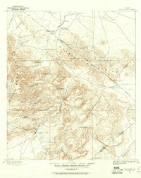
1894 · Fort Davis
USGS Topo · 1:125,000
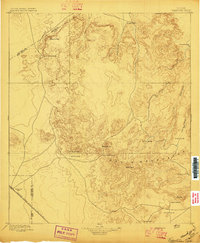
1897 · Valentine
USGS Topo · 1:125,000
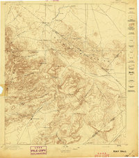
1897 · Fort Davis
USGS Topo · 1:125,000
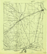
1921 · Toyah
USGS Topo · 1:125,000
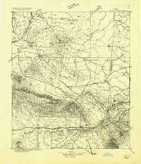
1928 · Kent
USGS Topo · 1:125,000
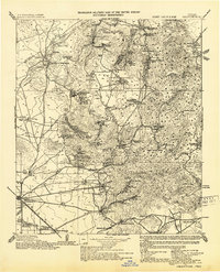
1943 · Valentine
USGS Topo · 1:125,000
1954 · Van Horn
USGS Topo · 1:250,000

1954 · Pecos
USGS Topo · 1:250,000

1954 · Fort Stockton
USGS Topo · 1:250,000