
1921 Map of Gonzales
USGS Topo · Published 1921About this map
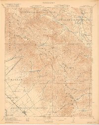
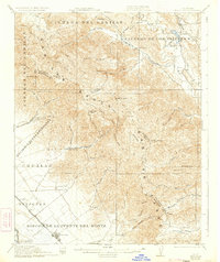
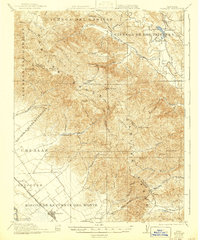
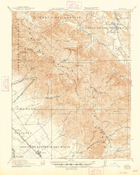
The Gabilan Range dominates this 1921 survey, serving as a formidable natural barrier between the agricultural lands of the Salinas Valley and the interior drainage of the San Benito River. In the southwestern corner, the town of Gonzales and the smaller depot at Penvir line the Southern Pacific tracks, illustrating the vital rail connection for the surrounding ranchos. Large Mexican land grant divisions, including Encinal y Buena Esperanza and Rincon de la Puente del Monte, still define the property boundaries across the landscape, preserving the region's colonial heritage. Industrial activity is represented by the Dolomite Quarry at the northern edge, while the rural social fabric is visible through scattered educational outposts like Canyon School and Gloria School. The contrast between the organized valley floor and the complex network of canyons, such as McCoy Canyon and Thompson Creek, highlights the varied terrain that shaped early Monterey and San Benito county development.
Find a feature on this map
68 named features on this map. Tap any name to fly to it.
Don’t see what you’re looking for? This feature index may not catch every label — zoom into the map to look around manually.
Map Details
Editions of this 1921 Gonzales Map
5 editions found
Other maps of this area

1910 · Gonzales
USGS Topo · 1:31,680

1910 · Salinas
USGS Topo · 1:31,680

1910 · Soledad
USGS Topo · 1:31,680

1912 · Salinas
USGS Topo · 1:62,500

1915 · Soledad
USGS Topo · 1:62,500

1915 · San Juan Bautista
USGS Topo · 1:48,000

1917 · San Juan Bautista
USGS Topo · 1:62,500

1919 · San Benito
USGS Topo · 1:62,500

1919 · Hollister
USGS Topo · 1:48,000

1920 · Jamesburg
USGS Topo · 1:48,000