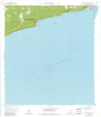
1958 Map of Good Harbor Bay
USGS Topo · Published 1981About this map
Grand Marais and the surrounding coastline of Lake Superior are captured here as they appeared in the late 1950s. The map illustrates the town's orientation around Grand Marais Harbor and East Bay, highlighting its role as a essential port and North Shore hub. Stretching westward from the settlement, the Superior National Forest dominates the upland terrain, where small developments like the Town Hall and a Gravel Pit indicate local infrastructure and industry during this era.
Find a feature on this map
15 named features on this map. Tap any name to fly to it.
Don’t see what you’re looking for? This feature index may not catch every label — zoom into the map to look around manually.
Map Details
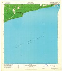
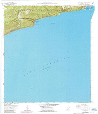
Editions of this 1958 Good Harbor Bay Map
4 editions found
Other maps of this area

1919 · Brule Lake
USGS Topo · 1:62,500

1919 · Grand Marais
USGS Topo · 1:62,500

1919 · Lutsen
USGS Topo · 1:62,500

1954 · Two Harbors
USGS Topo · 1:250,000

1957 · Two Harbors
USGS Topo · 1:250,000

1958 · Two Harbors
USGS Topo · 1:250,000

1958 · Deer Yard Lake
USGS Topo · 1:24,000

1958 · Good Harbor Bay
USGS Topo · 1:24,000

1960 · Grand Marais
USGS Topo · 1:24,000
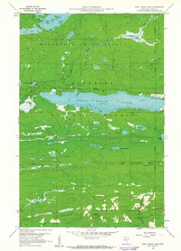
1960 · Devil Track Lake
USGS Topo · 1:24,000