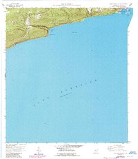
1958 Map of Good Harbor Bay
USGS Topo · Published 1986About this map
Grand Marais and its surrounding North Shore landscape are documented here as they transitioned through the mid-20th century. The map shows the coastal settlement's dual orientation toward Lake Superior and the timber-rich interior of the Superior National Forest. While the harbor serves as a primary nautical focal point, the inland areas reveal essential community markers like the Town Hall and Poplar Grove Cem. Significant recreational and conservation efforts are evident in the designation of Cascade River State Park, protecting the shoreline near Terrace Point and the mouth of Cut Face Creek. This period captures the region's reliance on both maritime activity in Grand Marais Harbor and the developing infrastructure along Highway 61, which links these remote northern outposts.
Find a feature on this map
17 named features on this map. Tap any name to fly to it.
Don’t see what you’re looking for? This feature index may not catch every label — zoom into the map to look around manually.
Map Details
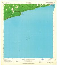
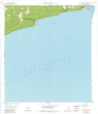
Editions of this 1958 Good Harbor Bay Map
4 editions found
Other maps of this area

1919 · Brule Lake
USGS Topo · 1:62,500

1919 · Grand Marais
USGS Topo · 1:62,500

1919 · Lutsen
USGS Topo · 1:62,500

1954 · Two Harbors
USGS Topo · 1:250,000

1957 · Two Harbors
USGS Topo · 1:250,000

1958 · Two Harbors
USGS Topo · 1:250,000

1958 · Deer Yard Lake
USGS Topo · 1:24,000

1958 · Good Harbor Bay
USGS Topo · 1:24,000

1960 · Grand Marais
USGS Topo · 1:24,000
1960 · Devil Track Lake
USGS Topo · 1:24,000