
1966 Map of Goodland
USGS Topo · Published 1967About this map
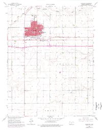
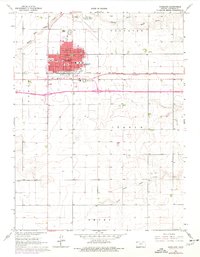
Goodland serves as a concentrated hub of activity on the High Plains during the mid-1960s, defined by its grid layout and civic infrastructure. The city center is densely packed with essential institutions, including the Courthouse, City Hall, and Hospital, alongside local education facilities like Grant Sch and the Northwest Kansas Vocational Sch. Transportation is a primary theme of the landscape, as the C R I & P railroad tracks bisect the town, and new segments of Interstate highway are marked as Under Construction to the south.
Find a feature on this map
29 named features on this map. Tap any name to fly to it.
Don’t see what you’re looking for? This feature index may not catch every label — zoom into the map to look around manually.
Map Details
Editions of this 1966 Goodland Map
3 editions found
Other maps of this area

1954 · Goodland
USGS Topo · 1:250,000

1956 · Goodland
USGS Topo · 1:250,000

1957 · Goodland
USGS Topo · 1:250,000

1959 · Harris Draw
USGS Topo · 1:62,500

1959 · Horsethief Draw
USGS Topo · 1:62,500

1966 · Goodland NW
USGS Topo · 1:24,000

1966 · Edson
USGS Topo · 1:24,000

1966 · Ruleton NE
USGS Topo · 1:24,000

1966 · Goodland NE
USGS Topo · 1:24,000
1966 · Ruleton SE
USGS Topo · 1:24,000