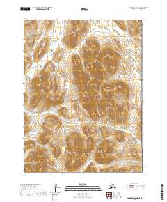
2020 Map of Goodnews Bay A-6 SE
USGS Topo · Published 2020About this map
Oseiak River flows southward through the central corridor of this terrain in the Bethel Census Area of Alaska. This landscape is defined by significant elevation changes, with the river system navigating between prominent mountain ridges. In the southwestern portion of the sheet, the Nisua River cuts across the corner, indicating the complex drainage patterns of this sub-arctic environment. Surveyed by the U.S. Geological Survey, the map reflects the remote character of the region, where natural watercourses and topography are the primary landmarks. The absence of roads or established settlements highlights the wilderness state of the land at the time of this 2020 update.
Find a feature on this map
6 named features on this map. Tap any name to fly to it.
Don’t see what you’re looking for? This feature index may not catch every label — zoom into the map to look around manually.
Map Details
Editions of this 2020 Goodnews Bay A-6 SE Map
This is the sole edition of this map. No revisions or reprints were ever made.
Other maps of this area

1948 · Hagemeister Island D-3
USGS Topo · 1:63,360

1951 · Goodnews
USGS Topo · 1:250,000

1951 · Hagemeister Island
USGS Topo · 1:250,000

1954 · Hagemeister Island D-4
USGS Topo · 1:63,360

1954 · Goodnews A-6
USGS Topo · 1:63,360

1957 · Hagemeister Island
USGS Topo · 1:250,000

1979 · Goodnews Bay A-5
USGS Topo · 1:63,360

1979 · Goodnews Bay
USGS Topo · 1:250,000
2017 · Goodnews Bay A-6 SW
USGS Topo · 1:25,000
2017 · Goodnews Bay A-6 NW
USGS Topo · 1:25,000