
1954 Map of Hagemeister Island D-4
USGS Topo · Published 1968About this map
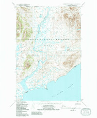
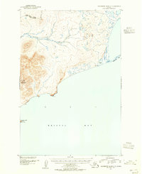
The Osviak River meanders through a complex network of wetlands and tundra in this mid-century survey of the Alaska coastline. Reaching the southern shore at the settlement of Osviak, the river drains into the cold waters of the Hagemeister Strait. The topography is defined by significant coastal elevations, including Downdraft Mountain to the northeast and Virgo Mountain further south, providing a stark contrast to the surrounding marshy lowlands. At the shoreline, Estus Point serves as a distinct maritime landmark along the rugged coastal profile. Compiled from 1957 aerial photography and 1954 field annotations, the map reflects a period when the Bureau of Land Management was predetermining land lines across these unsurveyed and unmarked territories of the Seward Meridian.
Find a feature on this map
6 named features on this map. Tap any name to fly to it.
Don’t see what you’re looking for? This feature index may not catch every label — zoom into the map to look around manually.
Map Details
Editions of this 1954 Hagemeister Island D-4 Map
2 editions found
Other maps of this area

1948 · Hagemeister Island D-3
USGS Topo · 1:63,360

1948 · Hagemeister Island C-4
USGS Topo · 1:63,360

1948 · Hagemeister Island C-3
USGS Topo · 1:63,360

1948 · Hagemeister Island C-5
USGS Topo · 1:63,360

1950 · Hagemeister Island D-5
USGS Topo · 1:63,360

1951 · Goodnews
USGS Topo · 1:250,000

1951 · Hagemeister Island
USGS Topo · 1:250,000

1952 · Hagemeister Island C-3
USGS Topo · 1:63,360
1952 · Hagemeister Island C-5
USGS Topo · 1:63,360

1952 · Hagemeister Island C-4
USGS Topo · 1:63,360