1948 Map of Hagemeister Island C-3
USGS Topo · Published 1974About this map
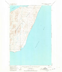
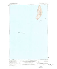
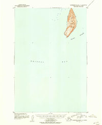
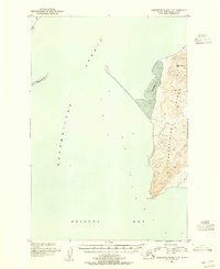
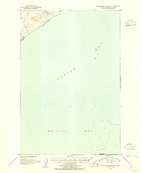
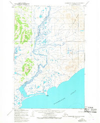
Hagemeister Island dominates this mid-century topographic record, showing the central portion of the island as it appeared shortly after the war. The map reveals a land defined by elevation and isolation, bounded to the west by Hagemeister Strait and to the east by the open waters of Bristol Bay. Surveyed by the U. S. Coast and Geodetic Survey, the interior is devoid of permanent settlements or roads, with the landscape marked instead by survey points such as VABM 784 Island and Vabm 429 Calm Point at the island's southern tip.
Find a feature on this map
6 named features on this map. Tap any name to fly to it.
Don’t see what you’re looking for? This feature index may not catch every label — zoom into the map to look around manually.
Map Details
Editions of this 1948 Hagemeister Island C-3 Map
This is the sole edition of this map. No revisions or reprints were ever made.
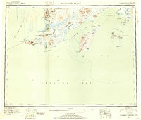
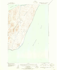
Other maps of this area
1947 · Hagemeister Island D-2
USGS Topo · 1:63,360
1948 · Hagemeister Island D-3
USGS Topo · 1:63,360
1948 · Hagemeister Island C-4
USGS Topo · 1:63,360
1948 · Hagemeister Island C-2
USGS Topo · 1:63,360
1951 · Hagemeister Island
USGS Topo · 1:250,000
1952 · Hagemeister Island C-3
USGS Topo · 1:63,360
1952 · Hagemeister Island C-2
USGS Topo · 1:63,360
1952 · Hagemeister Island C-4
USGS Topo · 1:63,360
1953 · Hagemeister Island D-2
USGS Topo · 1:63,360
1954 · Hagemeister Island D-4
USGS Topo · 1:63,360