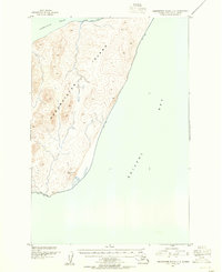
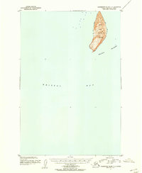
1948 Map of Hagemeister Island C-2
USGS Topo · Published 1977About this map
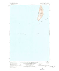
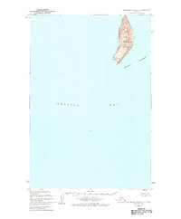
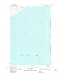
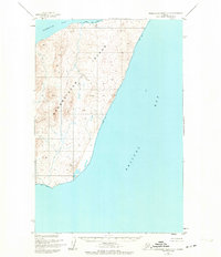
High Island dominates this 1948 topographic survey of the northern reaches of Bristol Bay. As part of the larger Walrus Islands chain, the island serves as a significant geographic marker in these Alaskan waters. The entire land area is designated as the Walrus Islands State Game Sanctuary, emphasizing its importance as a protected habitat for marine life.
Find a feature on this map
6 named features on this map. Tap any name to fly to it.
Don’t see what you’re looking for? This feature index may not catch every label — zoom into the map to look around manually.
Map Details
Editions of this 1948 Hagemeister Island C-2 Map
2 editions found
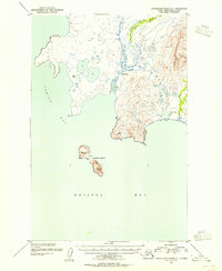
Other maps of this area
1947 · Hagemeister Island D-2
USGS Topo · 1:63,360
1948 · Hagemeister Island D-3
USGS Topo · 1:63,360
1948 · Hagemeister Island C-3
USGS Topo · 1:63,360

1948 · Hagemeister Island C-1
USGS Topo · 1:63,360
1950 · Hagemeister Island D-1
USGS Topo · 1:63,360
1951 · Hagemeister Island
USGS Topo · 1:250,000
1952 · Hagemeister Island C-1
USGS Topo · 1:63,360
1952 · Hagemeister Island C-3
USGS Topo · 1:63,360
1952 · Hagemeister Island C-2
USGS Topo · 1:63,360
1952 · Hagemeister Island D-1
USGS Topo · 1:63,360