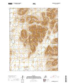
2017 Map of Goodnews Bay A-6 SW
USGS Topo · Published 2017About this map
The Osviak River corridor defines the drainage patterns of this southwestern Alaska landscape, where tidal wetlands and coastal river systems meet rising topographic relief. This 2017 survey by the U.S. Geological Survey shows a transition from the lower elevations of the river basin to the inland hills, marked by the winding path of Tivyagak Cr. The map details the Public Land Survey System township boundaries, including t13s r71w and t13s r72w, which provide essential reference points for land use and navigation in this roadless coastal area near Goodnews Bay.
Find a feature on this map
6 named features on this map. Tap any name to fly to it.
Don’t see what you’re looking for? This feature index may not catch every label — zoom into the map to look around manually.
Map Details
Editions of this 2017 Goodnews Bay A-6 SW Map
This is the sole edition of this map. No revisions or reprints were ever made.
Other maps of this area

1951 · Goodnews
USGS Topo · 1:250,000

1951 · Hagemeister Island
USGS Topo · 1:250,000

1954 · Goodnews A-7
USGS Topo · 1:63,360

1954 · Hagemeister Island D-4
USGS Topo · 1:63,360

1954 · Goodnews A-6
USGS Topo · 1:63,360

1957 · Hagemeister Island
USGS Topo · 1:250,000

1979 · Goodnews Bay
USGS Topo · 1:250,000
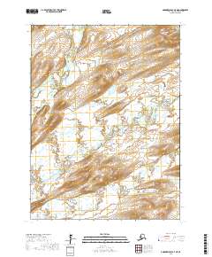
2017 · Goodnews Bay A-7 NE
USGS Topo · 1:25,000
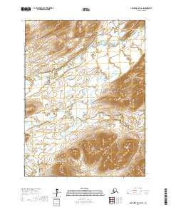
2017 · Goodnews Bay A-6 NW
USGS Topo · 1:25,000
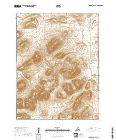
2017 · Goodnews Bay A-7 SE
USGS Topo · 1:25,000