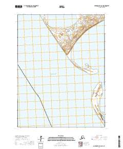
2017 Map of Goodnews Bay A-8 SW
USGS Topo · Published 2017About this map
Platinum anchors this coastal survey of the Bethel Census Area, situated along the eastern reaches of the Pacific Ocean. This mining-related settlement is defined by its proximity to the water, where the South Spit and North Spit partially enclose the waters of Goodnews Bay. The landscape is a complex of coastal wetlands and ridges, notably around Nanvakfak Lake to the north.
Find a feature on this map
15 named features on this map. Tap any name to fly to it.
Don’t see what you’re looking for? This feature index may not catch every label — zoom into the map to look around manually.
Map Details
Editions of this 2017 Goodnews Bay A-8 SW Map
This is the sole edition of this map. No revisions or reprints were ever made.
Other maps of this area

1950 · Hagemeister Island D-6
USGS Topo · 1:63,360

1951 · Kuskokwim Bay
USGS Topo · 1:250,000

1951 · Goodnews
USGS Topo · 1:250,000

1951 · Hagemeister Island
USGS Topo · 1:250,000

1954 · Goodnews A-8
USGS Topo · 1:63,360

1954 · Kuskokwim Bay
USGS Topo · 1:250,000

1957 · Hagemeister Island
USGS Topo · 1:250,000

1979 · Goodnews Bay
USGS Topo · 1:250,000
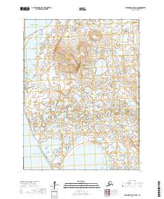
2017 · Goodnews Bay A-8 NW
USGS Topo · 1:25,000
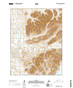
2017 · Goodnews Bay A-8 NE
USGS Topo · 1:25,000