
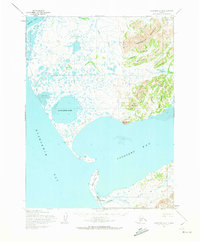
1954 Map of Goodnews A-8
USGS Topo · Published 1965About this map
Platinum anchors the southern edge of this mid-century survey, situated along the Smalls River near where the South Spit separates Goodnews Bay from the open waters of the Kuskokwim Bay. The landscape is dominated by the tidal dynamics of the Alaskan coast, where massive water bodies like Big Lake and Carter Bay sit against a backdrop of steep peaks including Kigtsugtag Mountain and Limestone Ridge.
Find a feature on this map
31 named features on this map. Tap any name to fly to it.
Don’t see what you’re looking for? This feature index may not catch every label — zoom into the map to look around manually.
Map Details
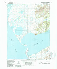
Editions of this 1954 Goodnews A-8 Map
3 editions found
Other maps of this area

1950 · Hagemeister Island D-6
USGS Topo · 1:63,360

1950 · Hagemeister Island D-5
USGS Topo · 1:63,360

1951 · Kuskokwim Bay
USGS Topo · 1:250,000

1951 · Goodnews
USGS Topo · 1:250,000

1951 · Hagemeister Island
USGS Topo · 1:250,000

1954 · Goodnews B-7
USGS Topo · 1:63,360

1954 · Goodnews A-7
USGS Topo · 1:63,360

1954 · Kuskokwim Bay
USGS Topo · 1:250,000

1954 · Goodnews B-8
USGS Topo · 1:63,360

1954 · Hagemeister Island D-5
USGS Topo · 1:63,360