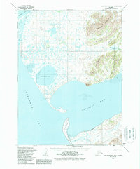
1954 Map of Goodnews Bay A-8
USGS Topo · Published 1988About this map
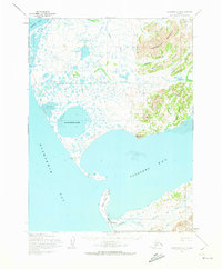
Platinum anchors the southern reaches of this coastal landscape, situated near the narrow entrance where Goodnews Bay meets the larger waters of Kuskokwim Bay. In the mid-1950s, this remote region was defined by its dual maritime and inland transportation networks, featuring the Winter Trail skirting the coastline and a Native Trail cutting through the highlands. The geography is characterized by dramatic elevation changes, from the tidal flats of Carter Bay and the expanse of Nanvakfak Lake to the towering peaks of Kigtsugtag Mountain and Limestone Ridge. These features indicate a terrain where movement was dictated by the seasons and the available water routes, with inland access points like Smalls River and the Kielapak Mountains framing the bay's complex shoreline.
Find a feature on this map
26 named features on this map. Tap any name to fly to it.
Don’t see what you’re looking for? This feature index may not catch every label — zoom into the map to look around manually.
Map Details
Editions of this 1954 Goodnews Bay A-8 Map
3 editions found
Other maps of this area

1950 · Hagemeister Island D-6
USGS Topo · 1:63,360

1950 · Hagemeister Island D-5
USGS Topo · 1:63,360

1951 · Kuskokwim Bay
USGS Topo · 1:250,000

1951 · Goodnews
USGS Topo · 1:250,000

1951 · Hagemeister Island
USGS Topo · 1:250,000

1954 · Goodnews A-8
USGS Topo · 1:63,360

1954 · Goodnews B-7
USGS Topo · 1:63,360

1954 · Goodnews A-7
USGS Topo · 1:63,360

1954 · Kuskokwim Bay
USGS Topo · 1:250,000

1954 · Goodnews B-8
USGS Topo · 1:63,360