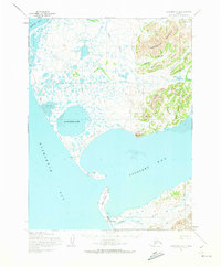
1954 Map of Goodnews A-8
USGS Topo · Published 1973About this map
Platinum anchors the southern edge of this mid-century survey, situated on the coastal plains between the Kuskokwim Bay and Goodnews Bay. The settlement is supported by a local Airfield and an extensive Winter Trail network that cuts across the tundra and tidal flats. The landscape is defined by the sharp transition from the massive Nanvakfak Lake to the mountainous interior, where Rigtsugtag Mountain and Limestone Ridge rise abruptly from the river lowlands. Along the coast, North Spit and South Spit nearly enclose the entrance to the bay, creating a protected harbor for the region. The map captures the industrial and transport infrastructure of this remote mining district, including various Trails that connect the coast to inland water bodies like Carter Creek and the Smalls River.
Find a feature on this map
24 named features on this map. Tap any name to fly to it.
Don’t see what you’re looking for? This feature index may not catch every label — zoom into the map to look around manually.
Map Details
Editions of this 1954 Goodnews A-8 Map
3 editions found
Other maps of this area

1950 · Hagemeister Island D-6
USGS Topo · 1:63,360

1950 · Hagemeister Island D-5
USGS Topo · 1:63,360

1951 · Kuskokwim Bay
USGS Topo · 1:250,000

1951 · Goodnews
USGS Topo · 1:250,000

1951 · Hagemeister Island
USGS Topo · 1:250,000

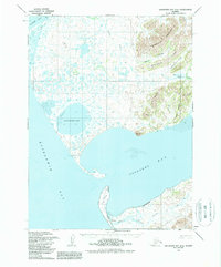
1954 · Goodnews A-8
USGS Topo · 1:63,360

1954 · Goodnews B-7
USGS Topo · 1:63,360

1954 · Goodnews A-7
USGS Topo · 1:63,360

1954 · Kuskokwim Bay
USGS Topo · 1:250,000

1954 · Goodnews B-8
USGS Topo · 1:63,360