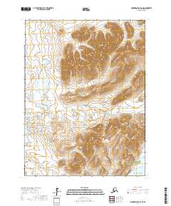
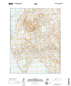
2017 Map of Goodnews Bay A-8 NE
USGS Topo · Published 2017About this map
Alaska Maritime National Wildlife Refuge encompasses the southeastern reaches of this coastal landscape, where the high peaks of the Kiglapak Mountains meet the waters of Goodnews Bay and the Pacific Ocean. The terrain is defined by dramatic elevation changes, rising from tidal lowlands to prominent heights like Kigsuetog Mtn and Machewik Mtn. A network of drainage systems, including Carter Cr, Sphinx Cr, and the S Fork Indian River, carves through the ridges to reach the sea.
Find a feature on this map
16 named features on this map. Tap any name to fly to it.
Don’t see what you’re looking for? This feature index may not catch every label — zoom into the map to look around manually.
Map Details
Editions of this 2017 Goodnews Bay A-8 NE Map
This is the sole edition of this map. No revisions or reprints were ever made.
Other maps of this area

1951 · Goodnews
USGS Topo · 1:250,000

1954 · Goodnews A-8
USGS Topo · 1:63,360

1954 · Goodnews B-7
USGS Topo · 1:63,360

1954 · Goodnews A-7
USGS Topo · 1:63,360

1954 · Goodnews B-8
USGS Topo · 1:63,360

1979 · Goodnews Bay
USGS Topo · 1:250,000
2017 · Goodnews Bay B-8 SE
USGS Topo · 1:25,000
2017 · Goodnews Bay A-7 SW
USGS Topo · 1:25,000
2017 · Goodnews Bay B-8 SW
USGS Topo · 1:25,000
2017 · Goodnews Bay A-8 NW
USGS Topo · 1:25,000