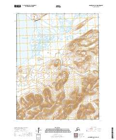
2017 Map of Goodnews Bay A-7 SW
USGS Topo · Published 2017About this map
Goodnews Bay serves as a vital coastal anchor for this Bethel Census Area landscape, where the Goodnews River and its South Fork meander through expansive lowlands before reaching the Pacific. The settlement at Goodnews Bay is supported by local infrastructure including the Goodnews Airport, Landfill Access Road, and Airport Access Road. The terrain rises sharply from the coastal marshes into a series of prominent peaks, including Flat Mtn, Puyulik Mtn, and the distinctive Crater Hill.
Find a feature on this map
20 named features on this map. Tap any name to fly to it.
Don’t see what you’re looking for? This feature index may not catch every label — zoom into the map to look around manually.
Map Details
Editions of this 2017 Goodnews Bay A-7 SW Map
This is the sole edition of this map. No revisions or reprints were ever made.
Other maps of this area

1950 · Hagemeister Island D-5
USGS Topo · 1:63,360

1951 · Goodnews
USGS Topo · 1:250,000

1951 · Hagemeister Island
USGS Topo · 1:250,000

1954 · Goodnews A-8
USGS Topo · 1:63,360

1954 · Goodnews A-7
USGS Topo · 1:63,360

1954 · Hagemeister Island D-5
USGS Topo · 1:63,360

1957 · Hagemeister Island
USGS Topo · 1:250,000

1979 · Goodnews Bay
USGS Topo · 1:250,000
2017 · Goodnews Bay A-8 NE
USGS Topo · 1:25,000
2017 · Goodnews Bay A-7 NE
USGS Topo · 1:25,000