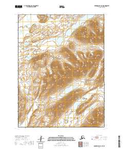
2020 Map of Goodnews Bay B-5 NE
USGS Topo · Published 2020About this map
Goodnews Lake serves as a prominent headwater feature in this sub-arctic Alaskan landscape, feeding into the wider drainage system of the Goodnews River. The map illustrates a complex network of glacial and riverine features within the Bethel Census Area, where the Middle Fork Goodnews River flows from Middle Fork Lake through a valley flanked by high ridges. The most significant landform on this sheet is Ungluayagat Mtn, which dominates the eastern terrain. This 2020 survey documents a wilderness area defined by its hydrological patterns, including the smaller Awayak Cr in the northwest, offering a detailed record of the natural topography in a region where few permanent human settlements are established.
Find a feature on this map
10 named features on this map. Tap any name to fly to it.
Don’t see what you’re looking for? This feature index may not catch every label — zoom into the map to look around manually.
Map Details
Editions of this 2020 Goodnews Bay B-5 NE Map
This is the sole edition of this map. No revisions or reprints were ever made.
Other maps of this area

1951 · Goodnews
USGS Topo · 1:250,000

1954 · Goodnews C-4
USGS Topo · 1:63,360

1979 · Goodnews Bay C-5
USGS Topo · 1:63,360

1979 · Goodnews Bay B-5
USGS Topo · 1:63,360

1979 · Goodnews Bay
USGS Topo · 1:250,000
1979 · Goodnews Bay B-4
USGS Topo · 1:63,360
2020 · Goodnews Bay B-5 SW
USGS Topo · 1:25,000
2020 · Goodnews Bay B-5 SE
USGS Topo · 1:25,000
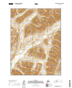
2020 · Goodnews Bay C-4 SW
USGS Topo · 1:25,000
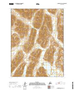
2020 · Goodnews Bay B-4 NW
USGS Topo · 1:25,000