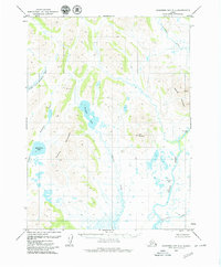
1979 Map of Goodnews Bay B-4
USGS Topo · Published 1979About this map
Kassianmute (Site) and Tuniakpuk (Site) represent historical habitation points along the lower reaches of the Togiak River and the eastern slopes of the Kashaiak Mountains. This 1970s landscape is defined by its complex hydrology, where the Gechiak Mountains form a significant divide between the Gechiak Lake basin and the Middle Fork Goodnews River drainage.
Find a feature on this map
13 named features on this map. Tap any name to fly to it.
Don’t see what you’re looking for? This feature index may not catch every label — zoom into the map to look around manually.
Map Details
Editions of this 1979 Goodnews Bay B-4 Map
2 editions found
Other maps of this area

1951 · Goodnews
USGS Topo · 1:250,000

1954 · Goodnews B-3
USGS Topo · 1:63,360

1954 · Goodnews C-4
USGS Topo · 1:63,360

1954 · Goodnews A-4
USGS Topo · 1:63,360

1954 · Goodnews A-3
USGS Topo · 1:63,360

1979 · Goodnews Bay C-5
USGS Topo · 1:63,360

1979 · Goodnews Bay A-5
USGS Topo · 1:63,360

1979 · Goodnews Bay B-5
USGS Topo · 1:63,360

1979 · Goodnews Bay C-3
USGS Topo · 1:63,360

1979 · Goodnews Bay
USGS Topo · 1:250,000