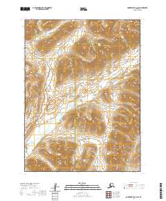
2020 Map of Goodnews Bay C-4 SW
USGS Topo · Published 2020About this map
Goodnews River winds through this expansive Alaskan wilderness, defining the drainage patterns south of the Ahklun Mountains. The topography is dominated by prominent peaks, most notably Mitlak Mtn and Nigag Mtn, which rise sharply above the river valleys. This 2020 survey also traces the course of the Igmiumanik River, a primary tributary that intersects the landscape near the administrative boundary between the Bethel and Dillingham Census Areas. The absence of roads or permanent structures reflects the isolated character of this region, where the natural waterways serve as the primary conduits through the high-elevation terrain.
Find a feature on this map
6 named features on this map. Tap any name to fly to it.
Don’t see what you’re looking for? This feature index may not catch every label — zoom into the map to look around manually.
Map Details
Editions of this 2020 Goodnews Bay C-4 SW Map
This is the sole edition of this map. No revisions or reprints were ever made.
Other maps of this area

1951 · Goodnews
USGS Topo · 1:250,000

1954 · Goodnews C-4
USGS Topo · 1:63,360

1979 · Goodnews Bay C-5
USGS Topo · 1:63,360

1979 · Goodnews Bay B-5
USGS Topo · 1:63,360

1979 · Goodnews Bay
USGS Topo · 1:250,000
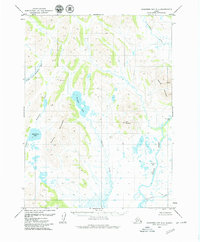
1979 · Goodnews Bay B-4
USGS Topo · 1:63,360
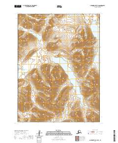
2020 · Goodnews Bay C-4 NW
USGS Topo · 1:25,000
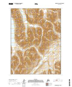
2020 · Goodnews Bay C-4 NE
USGS Topo · 1:25,000
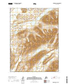
2020 · Goodnews Bay B-5 NE
USGS Topo · 1:25,000
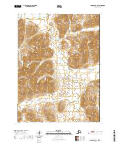
2020 · Goodnews Bay C-5 NE
USGS Topo · 1:25,000