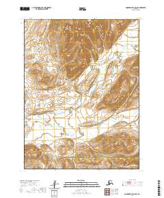
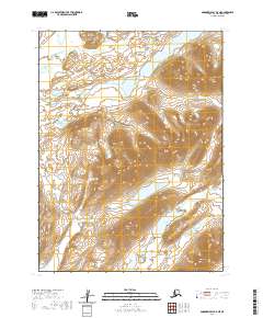
2020 Map of Goodnews Bay B-5 SW
USGS Topo · Published 2020About this map
The Middle Fork Goodnews River winds through this undeveloped expanse of Southwest Alaska, where the landscape is defined by dramatic elevation changes and remote river valleys. The terrain transitions across the boundary between the Bethel Census Area and the Dillingham Census Area, a region devoid of roads or permanent settlements. Significant water systems, including the Kukaktlik River, dictate the topography of the area, which is segmented by the Public Land Survey System grids of T9S through T11S. This 2020 survey provides a high-resolution view of the natural hydrology and contour data, illustrating the complex drainage patterns that feed into the larger Goodnews Bay watershed.
Find a feature on this map
10 named features on this map. Tap any name to fly to it.
Don’t see what you’re looking for? This feature index may not catch every label — zoom into the map to look around manually.
Map Details
Editions of this 2020 Goodnews Bay B-5 SW Map
This is the sole edition of this map. No revisions or reprints were ever made.
Other maps of this area

1951 · Goodnews
USGS Topo · 1:250,000

1954 · Goodnews A-6
USGS Topo · 1:63,360

1954 · Goodnews B-6
USGS Topo · 1:63,360

1979 · Goodnews Bay A-5
USGS Topo · 1:63,360

1979 · Goodnews Bay B-5
USGS Topo · 1:63,360

1979 · Goodnews Bay
USGS Topo · 1:250,000
2020 · Goodnews Bay A-5 NE
USGS Topo · 1:25,000
2020 · Goodnews Bay B-5 SE
USGS Topo · 1:25,000
2020 · Goodnews Bay B-6 NE
USGS Topo · 1:25,000
2020 · Goodnews Bay B-5 NE
USGS Topo · 1:25,000