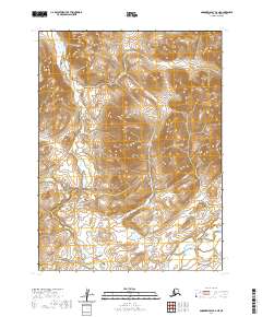
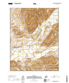
2020 Map of Goodnews Bay B-6 NE
USGS Topo · Published 2020About this map
Chingekigtlik Mtn rises in the northern portion of this remote Alaskan landscape, marking the high ground above the drainage basins of the Goodnews River and Canyon Cr. This 2020 survey by the U.S. Geological Survey documents the unpopulated wilderness within the Bethel Census Area, where the topography is defined by the natural flow of these glacial waters rather than human settlement. The absence of roads or established structures highlights the character of the Togiak National Wildlife Refuge area, where the primary features are the steep elevation contours and the intricate branching of Canyon Cr as it feeds toward the larger Goodnews River valley. This map provides a clear look at the township and range divisions, including t8s r69w and t9s r69w, which are essential for identifying specific land tracts in this expansive terrain.
Find a feature on this map
7 named features on this map. Tap any name to fly to it.
Don’t see what you’re looking for? This feature index may not catch every label — zoom into the map to look around manually.
Map Details
Editions of this 2020 Goodnews Bay B-6 NE Map
This is the sole edition of this map. No revisions or reprints were ever made.
Other maps of this area

1951 · Goodnews
USGS Topo · 1:250,000

1954 · Goodnews B-6
USGS Topo · 1:63,360

1954 · Goodnews C-6
USGS Topo · 1:63,360

1979 · Goodnews Bay C-5
USGS Topo · 1:63,360

1979 · Goodnews Bay B-5
USGS Topo · 1:63,360

1979 · Goodnews Bay
USGS Topo · 1:250,000
2017 · Goodnews Bay C-6 SW
USGS Topo · 1:25,000
2017 · Goodnews Bay B-6 NW
USGS Topo · 1:25,000
2017 · Goodnews Bay B-6 SW
USGS Topo · 1:25,000
2020 · Goodnews Bay B-5 SW
USGS Topo · 1:25,000