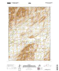
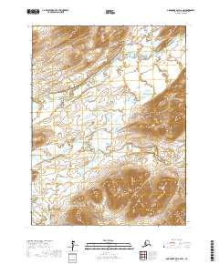
2017 Map of Goodnews Bay B-6 SW
USGS Topo · Published 2017About this map
The Goodnews River winds through this sub-arctic landscape in the Bethel Census Area, serving as the primary drainage for a network of tributaries descending from the high ground of the Ahklun Mountains. This 2017 survey reveals a terrain defined by steep elevations and glacial valleys, anchored by prominent peaks such as Atamautsittiguar Mtn in the north and Tigyukauivet Mtn to the south.
Find a feature on this map
17 named features on this map. Tap any name to fly to it.
Don’t see what you’re looking for? This feature index may not catch every label — zoom into the map to look around manually.
Map Details
Editions of this 2017 Goodnews Bay B-6 SW Map
This is the sole edition of this map. No revisions or reprints were ever made.
Other maps of this area

1951 · Goodnews
USGS Topo · 1:250,000

1954 · Goodnews B-7
USGS Topo · 1:63,360

1954 · Goodnews A-7
USGS Topo · 1:63,360

1954 · Goodnews A-6
USGS Topo · 1:63,360

1954 · Goodnews B-6
USGS Topo · 1:63,360

1979 · Goodnews Bay
USGS Topo · 1:250,000
2017 · Goodnews Bay B-7 NE
USGS Topo · 1:25,000
2017 · Goodnews Bay B-6 NW
USGS Topo · 1:25,000
2017 · Goodnews Bay A-7 NE
USGS Topo · 1:25,000
2017 · Goodnews Bay A-6 NW
USGS Topo · 1:25,000