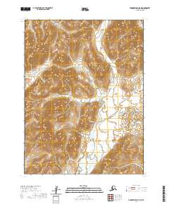
2020 Map of Goodnews Bay A-5 NE
USGS Topo · Published 2020About this map
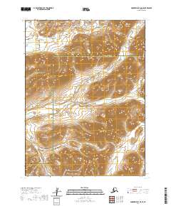
The Ahklun Mountains dominate this 2020 landscape in Southwest Alaska, rising sharply from the surrounding river valleys. The drainage system of the Matogak River carves through the western reaches of the quadrangle, while the Quigmy River flows through the southeastern portion. These waterways represent the primary geographic markers in a region defined by its lack of human-made infrastructure or settlements. The small Sulutuk Cr winds through the central terrain, bridging the divide between these larger river systems. The map illustrates a transitional subarctic environment where high-relief mountain ridges give way to expansive wetland systems and braided stream networks. For those studying the hydrology of the Dillingham Census Area, the map provides precise documentation of the relationship between these alpine elevations and the resulting drainage patterns.
Find a feature on this map
8 named features on this map. Tap any name to fly to it.
Don’t see what you’re looking for? This feature index may not catch every label — zoom into the map to look around manually.
Map Details
Editions of this 2020 Goodnews Bay A-5 NE Map
This is the sole edition of this map. No revisions or reprints were ever made.
Other maps of this area

1951 · Goodnews
USGS Topo · 1:250,000

1954 · Goodnews A-4
USGS Topo · 1:63,360

1979 · Goodnews Bay A-5
USGS Topo · 1:63,360

1979 · Goodnews Bay B-5
USGS Topo · 1:63,360

1979 · Goodnews Bay
USGS Topo · 1:250,000
1979 · Goodnews Bay B-4
USGS Topo · 1:63,360
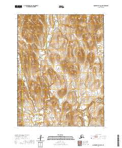
2020 · Goodnews Bay A-5 SW
USGS Topo · 1:25,000
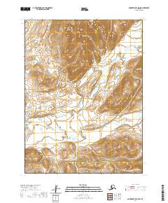
2020 · Goodnews Bay B-5 SW
USGS Topo · 1:25,000
2020 · Goodnews Bay B-5 SE
USGS Topo · 1:25,000
2020 · Goodnews Bay A-4 NW
USGS Topo · 1:25,000