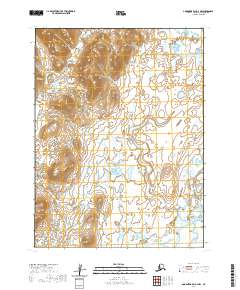
2020 Map of Goodnews Bay A-4 NW
USGS Topo · Published 2020About this map
The Ahklun Mountains dominate the northwestern reaches of this remote Alaska landscape, their high ridges overlooking a vast system of wetlands and braided drainages. This high-resolution 2020 survey captures the natural transition between the rocky uplands and the river-carved lowlands where the Togiak River flows through the southeastern portion of the quadrangle. The map highlights the complex hydrology of the Dillingham Census Area, showing an intricate network of unnamed lakes and marshes that characterize this subarctic environment. While largely devoid of named settlements or man-made structures, the map provides precise details of the topography and water systems essential for navigating this undeveloped region.
Find a feature on this map
6 named features on this map. Tap any name to fly to it.
Don’t see what you’re looking for? This feature index may not catch every label — zoom into the map to look around manually.
Map Details
Editions of this 2020 Goodnews Bay A-4 NW Map
This is the sole edition of this map. No revisions or reprints were ever made.
Other maps of this area

1951 · Goodnews
USGS Topo · 1:250,000

1954 · Goodnews A-4
USGS Topo · 1:63,360

1979 · Goodnews Bay A-5
USGS Topo · 1:63,360

1979 · Goodnews Bay B-5
USGS Topo · 1:63,360

1979 · Goodnews Bay
USGS Topo · 1:250,000
1979 · Goodnews Bay B-4
USGS Topo · 1:63,360
2020 · Goodnews Bay A-5 NE
USGS Topo · 1:25,000
2020 · Goodnews Bay B-5 SE
USGS Topo · 1:25,000
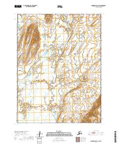
2020 · Goodnews Bay A-4 NE
USGS Topo · 1:25,000
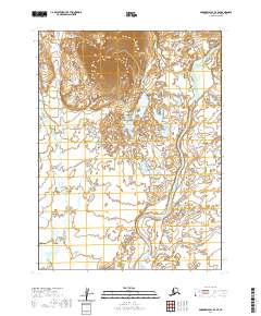
2020 · Goodnews Bay B-4 SE
USGS Topo · 1:25,000