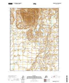
2020 Map of Goodnews Bay B-4 SE
USGS Topo · Published 2020About this map
Togiak River winds through this section of the Dillingham Census Area, forming a complex network of meanders and oxbows across the flat coastal tundra. The hydrologic landscape is further defined by the Gechiah Cr to the west and Pungokepuk Cr in the south, both of which feed into the broader drainage system of Goodnews Bay. Rising above the surrounding wetlands, the prominent elevation of Lone Mtn stands as the primary landmark in the northern portion of the quadrangle. This 2020 survey illustrates a wilderness area largely devoid of permanent human infrastructure, focusing instead on the shifting river channels and the countless small ponds and lakes that characterize the Alaskan interior north of the bay.
Find a feature on this map
13 named features on this map. Tap any name to fly to it.
Don’t see what you’re looking for? This feature index may not catch every label — zoom into the map to look around manually.
Map Details
Editions of this 2020 Goodnews Bay B-4 SE Map
This is the sole edition of this map. No revisions or reprints were ever made.
Other maps of this area

1951 · Goodnews
USGS Topo · 1:250,000

1954 · Goodnews B-3
USGS Topo · 1:63,360

1954 · Goodnews A-4
USGS Topo · 1:63,360

1954 · Goodnews A-3
USGS Topo · 1:63,360

1979 · Goodnews Bay
USGS Topo · 1:250,000
1979 · Goodnews Bay B-4
USGS Topo · 1:63,360
2019 · Goodnews Bay B-3 SW
USGS Topo · 1:25,000
2019 · Goodnews Bay A-3 NW
USGS Topo · 1:25,000
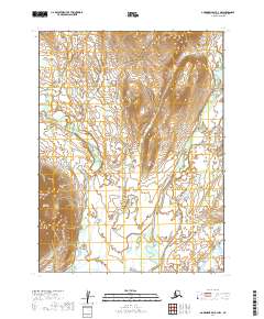
2019 · Goodnews Bay B-3 NW
USGS Topo · 1:25,000
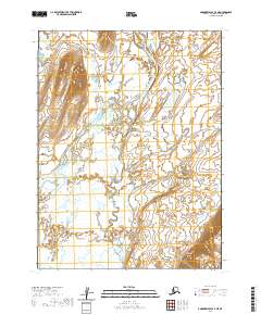
2020 · Goodnews Bay A-4 NE
USGS Topo · 1:25,000