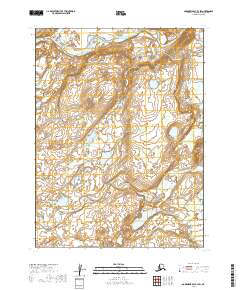
2019 Map of Goodnews Bay B-3 SW
USGS Topo · Published 2019About this map
Kashiagamiut occupies a position near the confluence of major waterways in this remote Alaskan landscape. The northern portion of the quadrangle is defined by the broad meanders of the Togiak River, which is joined from the northwest by the Kashaiak River. This area represents a critical intersection of riverine systems, where the terrain transitions into a complex network of wetlands and tundra ponds. To the south, the winding course of Pungokepuk Cr cuts through the low-lying elevations, illustrating the intricate drainage patterns of the Dillingham Census Area. The lack of modern road infrastructure highlights the enduring importance of these rivers as primary corridors for travel and traditional subsistence in this part of Alaska.
Find a feature on this map
10 named features on this map. Tap any name to fly to it.
Don’t see what you’re looking for? This feature index may not catch every label — zoom into the map to look around manually.
Map Details
Editions of this 2019 Goodnews Bay B-3 SW Map
This is the sole edition of this map. No revisions or reprints were ever made.
Other maps of this area

1951 · Goodnews
USGS Topo · 1:250,000

1954 · Goodnews B-3
USGS Topo · 1:63,360

1954 · Goodnews A-4
USGS Topo · 1:63,360

1954 · Goodnews A-3
USGS Topo · 1:63,360

1979 · Goodnews Bay
USGS Topo · 1:250,000
1979 · Goodnews Bay B-4
USGS Topo · 1:63,360
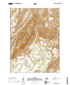
2019 · Goodnews Bay B-3 NE
USGS Topo · 1:25,000
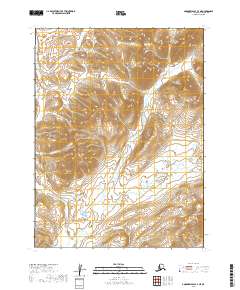
2019 · Goodnews Bay A-3 NE
USGS Topo · 1:25,000
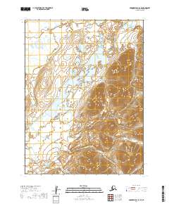
2019 · Goodnews Bay B-3 SE
USGS Topo · 1:25,000
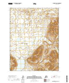
2019 · Goodnews Bay A-3 NW
USGS Topo · 1:25,000