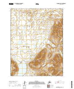
2019 Map of Goodnews Bay A-3 NW
USGS Topo · Published 2019About this map
Negukthlik River serves as the dominant geographical feature of this Dillingham Census Area landscape, winding through a complex system of wetlands and coastal lowlands. This U.S. Geological Survey topographic study reveals a wilderness defined by its intricate water systems, where the river's path is marked by numerous braids and offshoots. The terrain transitions from these low-lying marshlands to significant elevation gains in the southeastern quadrant, where the topography rises sharply from the river valley. The map provides precise boundary data for t11s r64w, t11s r63w, t12s r64w, and t12s r63w, documenting the Public Land Survey System grid as it was established in this remote section of Alaska during the early twenty-first century.
Find a feature on this map
5 named features on this map. Tap any name to fly to it.
Don’t see what you’re looking for? This feature index may not catch every label — zoom into the map to look around manually.
Map Details
Editions of this 2019 Goodnews Bay A-3 NW Map
This is the sole edition of this map. No revisions or reprints were ever made.
Other maps of this area

1951 · Goodnews
USGS Topo · 1:250,000

1954 · Goodnews B-3
USGS Topo · 1:63,360

1954 · Goodnews A-4
USGS Topo · 1:63,360

1954 · Goodnews A-3
USGS Topo · 1:63,360

1979 · Goodnews Bay
USGS Topo · 1:250,000
1979 · Goodnews Bay B-4
USGS Topo · 1:63,360
2019 · Goodnews Bay A-3 NE
USGS Topo · 1:25,000
2019 · Goodnews Bay B-3 SE
USGS Topo · 1:25,000
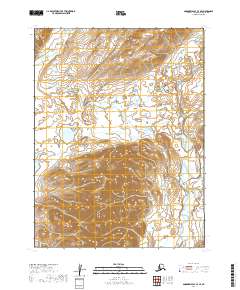
2019 · Goodnews Bay A-3 SE
USGS Topo · 1:25,000
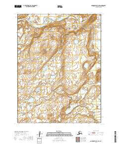
2019 · Goodnews Bay B-3 SW
USGS Topo · 1:25,000