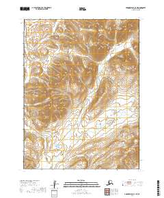
2019 Map of Goodnews Bay A-3 NE
USGS Topo · Published 2019About this map
The Wood River Mountains dominate this high-altitude Alaskan landscape, where the terrain is defined by steep ridges and glacial valleys. The Ungalikthluk River flows south through the center of the quadrangle, joined by a network of seasonal streams and tributaries that navigate the complex topography. In the southeast, Buchia Ridge stands as a prominent landmark, while the Neukthluk River cuts through the western reaches of the survey area. This 2019 survey documents a wild, roadless portion of the Dillingham Census Area, primarily shaped by natural hydrography and elevation rather than human settlement. The map provides precise detail of the mountain summits and the drainage patterns that feed into the larger river systems of the region.
Find a feature on this map
8 named features on this map. Tap any name to fly to it.
Don’t see what you’re looking for? This feature index may not catch every label — zoom into the map to look around manually.
Map Details
Editions of this 2019 Goodnews Bay A-3 NE Map
This is the sole edition of this map. No revisions or reprints were ever made.
Other maps of this area

1951 · Goodnews
USGS Topo · 1:250,000

1954 · Goodnews B-3
USGS Topo · 1:63,360

1954 · Goodnews A-3
USGS Topo · 1:63,360

1979 · Goodnews Bay B-2
USGS Topo · 1:63,360

1979 · Goodnews Bay
USGS Topo · 1:250,000
1979 · Goodnews Bay A-2
USGS Topo · 1:63,360
2019 · Goodnews Bay A-2 NW
USGS Topo · 1:25,000
2019 · Goodnews Bay B-3 SE
USGS Topo · 1:25,000
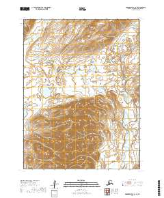
2019 · Goodnews Bay A-3 SE
USGS Topo · 1:25,000
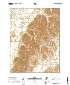
2019 · Goodnews Bay A-2 SW
USGS Topo · 1:25,000