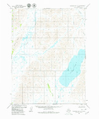
1979 Map of Goodnews Bay A-2
USGS Topo · Published 1979About this map
Ualik Lake dominates the southeastern quadrant of this Alaska wilderness, a massive body of water that serves as a central hydrological landmark in this roadless expanse. To the west, the Kulukak River and its myriad tributaries drain the high ground of Buchia Ridge, forming a complex network of wetlands and tundra streams. This 1970s survey, compiled from aerial photographs, illustrates a landscape defined entirely by its natural hydrology and topography, without a single road or permanent settlement recorded. The terrain is marked by the presence of smaller watercourses such as Tithe Creek and the Kanik River, which flow south through unsurveyed lands predetermined by the Bureau of Land Management. Researchers can observe the characteristic Alaskan drainage patterns, where glacial and snowmelt runoff carve deep through the ridges to feed the larger river systems and lakes of the Bristol Bay region.
Find a feature on this map
13 named features on this map. Tap any name to fly to it.
Don’t see what you’re looking for? This feature index may not catch every label — zoom into the map to look around manually.
Map Details
Editions of this 1979 Goodnews Bay A-2 Map
2 editions found
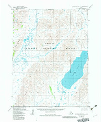
Other maps of this area

1945 · Nushagak Bay
USGS Topo · 1:250,000

1949 · Nushagak Bay
USGS Topo · 1:250,000

1950 · Nushagak Bay D-5
USGS Topo · 1:63,360

1950 · Nushagak Bay D-6
USGS Topo · 1:63,360

1951 · Goodnews
USGS Topo · 1:250,000

1951 · Nushagak Bay
USGS Topo · 1:250,000

1954 · Goodnews B-3
USGS Topo · 1:63,360

1954 · Goodnews A-3
USGS Topo · 1:63,360

1964 · Nushagak Bay
USGS Topo · 1:250,000
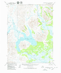
1979 · Goodnews Bay A-1
USGS Topo · 1:63,360