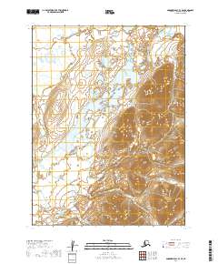
2019 Map of Goodnews Bay B-3 SE
USGS Topo · Published 2019About this map
Wood River Mountains dominate the eastern and southern portions of this landscape, rising sharply from a complex system of glacial valleys and freshwater drainage. This 2019 survey by the U.S. Geological Survey details a wilderness environment defined by the presence of Pungokepuk Lake, which serves as the primary reservoir for Pungokepuk Creek. In the northern reaches, the Ongivinuk River cuts through the lowlands, illustrating the intricate hydrology of the Dillingham Census Area. The lack of infrastructure or modern settlements highlights the untouched nature of this subarctic terrain, where elevation contours reveal the steep ridges and basins that define the mountain range.
Find a feature on this map
10 named features on this map. Tap any name to fly to it.
Don’t see what you’re looking for? This feature index may not catch every label — zoom into the map to look around manually.
Map Details
Editions of this 2019 Goodnews Bay B-3 SE Map
This is the sole edition of this map. No revisions or reprints were ever made.
Other maps of this area

1951 · Goodnews
USGS Topo · 1:250,000

1954 · Goodnews B-3
USGS Topo · 1:63,360

1954 · Goodnews A-3
USGS Topo · 1:63,360

1979 · Goodnews Bay B-2
USGS Topo · 1:63,360

1979 · Goodnews Bay
USGS Topo · 1:250,000
1979 · Goodnews Bay A-2
USGS Topo · 1:63,360
2019 · Goodnews Bay B-3 NE
USGS Topo · 1:25,000
2019 · Goodnews Bay A-2 NW
USGS Topo · 1:25,000
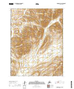
2019 · Goodnews Bay A-3 NE
USGS Topo · 1:25,000
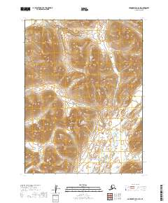
2019 · Goodnews Bay B-2 SW
USGS Topo · 1:25,000