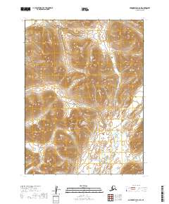
2019 Map of Goodnews Bay B-2 SW
USGS Topo · Published 2019About this map
The Wood River Mountains dominate this 2019 survey of the Dillingham Census Area, where high alpine ridges give way to complex drainage systems. The landscape is defined by its dramatic relief and lack of human infrastructure, focusing instead on the natural hydrology of southwestern Alaska. The Kulukak River and the Ungalikthluk River are the primary watercourses shown, snaking through deep valleys and across the southern tundra. This topographical study provides a precise look at the township and range divisions within the Unorganized Borough, capturing a wild portion of the Alaskan interior where the terrain itself dictates the boundaries of land and water.
Find a feature on this map
9 named features on this map. Tap any name to fly to it.
Don’t see what you’re looking for? This feature index may not catch every label — zoom into the map to look around manually.
Map Details
Editions of this 2019 Goodnews Bay B-2 SW Map
This is the sole edition of this map. No revisions or reprints were ever made.
Other maps of this area

1951 · Goodnews
USGS Topo · 1:250,000

1954 · Goodnews B-3
USGS Topo · 1:63,360

1954 · Goodnews A-3
USGS Topo · 1:63,360

1979 · Goodnews Bay B-2
USGS Topo · 1:63,360

1979 · Goodnews Bay
USGS Topo · 1:250,000
1979 · Goodnews Bay A-2
USGS Topo · 1:63,360
2019 · Goodnews Bay B-3 NE
USGS Topo · 1:25,000
2019 · Goodnews Bay A-2 NW
USGS Topo · 1:25,000
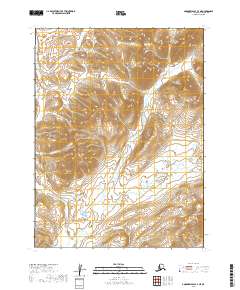
2019 · Goodnews Bay A-3 NE
USGS Topo · 1:25,000
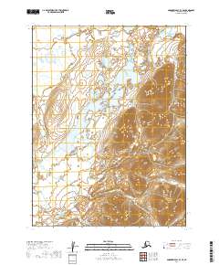
2019 · Goodnews Bay B-3 SE
USGS Topo · 1:25,000