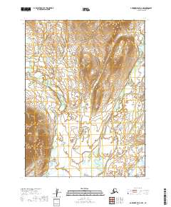
2019 Map of Goodnews Bay B-3 NW
USGS Topo · Published 2019About this map
The Kashaiak Mountains dominate the western terrain of this sub-arctic landscape, providing a dramatic backdrop to the complex hydraulic network of the Dillingham Census Area. Water defines the region, with the Kashaiak River winding through the lowlands towards the southwest while the Narogurum River cuts a central path between the high ridges and the eastern plains. In the southeastern corner, the larger Togiak River appears, signaling the drainage pattern of this vast watershed. This 2019 survey reflects the land as it exists within the Public Land Survey System divisions of t8s r64w, t8s r63w, t9s r64w, and t9s r63w, documenting a wilderness devoid of modern infrastructure or permanent settlements.
Find a feature on this map
8 named features on this map. Tap any name to fly to it.
Don’t see what you’re looking for? This feature index may not catch every label — zoom into the map to look around manually.
Map Details
Editions of this 2019 Goodnews Bay B-3 NW Map
This is the sole edition of this map. No revisions or reprints were ever made.
Other maps of this area

1951 · Goodnews
USGS Topo · 1:250,000

1954 · Goodnews B-3
USGS Topo · 1:63,360

1954 · Goodnews C-4
USGS Topo · 1:63,360

1979 · Goodnews Bay C-3
USGS Topo · 1:63,360

1979 · Goodnews Bay
USGS Topo · 1:250,000
1979 · Goodnews Bay B-4
USGS Topo · 1:63,360
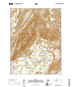
2019 · Goodnews Bay B-3 NE
USGS Topo · 1:25,000
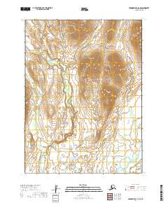
2019 · Goodnews Bay C-3 SE
USGS Topo · 1:25,000
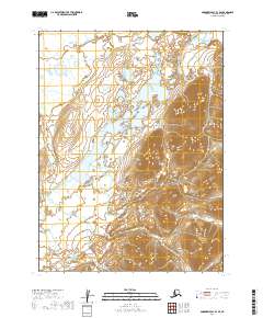
2019 · Goodnews Bay B-3 SE
USGS Topo · 1:25,000
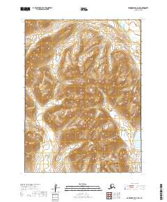
2019 · Goodnews Bay C-3 SW
USGS Topo · 1:25,000