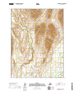
2019 Map of Goodnews Bay C-3 SE
USGS Topo · Published 2019About this map
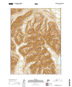
The Kemuk River meanders through this remote Alaskan terrain, defining the central drainage of a landscape largely untouched by infrastructure. While the region is defined by its dramatic elevation changes, the river system provides the primary geographic orientation for the area. To the east, the Kipnuktuli Cr flows parallel to the higher ridges, eventually converging toward the southeastern corner where the larger Togiak River enters the frame.
Find a feature on this map
9 named features on this map. Tap any name to fly to it.
Don’t see what you’re looking for? This feature index may not catch every label — zoom into the map to look around manually.
Map Details
Editions of this 2019 Goodnews Bay C-3 SE Map
This is the sole edition of this map. No revisions or reprints were ever made.
Other maps of this area

1951 · Goodnews
USGS Topo · 1:250,000

1954 · Goodnews B-3
USGS Topo · 1:63,360

1954 · Goodnews C-2
USGS Topo · 1:63,360

1979 · Goodnews Bay B-2
USGS Topo · 1:63,360

1979 · Goodnews Bay C-3
USGS Topo · 1:63,360

1979 · Goodnews Bay
USGS Topo · 1:250,000
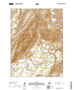
2019 · Goodnews Bay B-3 NE
USGS Topo · 1:25,000
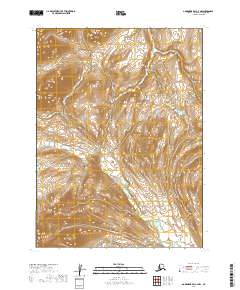
2019 · Goodnews Bay C-3 NW
USGS Topo · 1:25,000
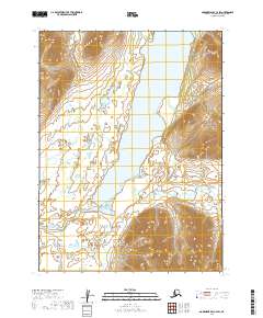
2019 · Goodnews Bay C-2 SW
USGS Topo · 1:25,000
2019 · Goodnews Bay C-3 SW
USGS Topo · 1:25,000