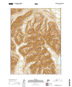
2019 Map of Goodnews Bay C-3 SW
USGS Topo · Published 2019About this map
The Ahklun Mountains dominate this high-latitude terrain, characterized by a complex network of steep ridges and glacial valleys. Flowing through the southwestern portion of the sheet, the Kashaiak River defines the primary drainage for this remote section of the Dillingham Census Area. The topography is meticulously detailed through 40-foot contour intervals, illustrating the sharp elevation changes common to this part of Southwest Alaska. This 2019 survey provides an essential view of the untouched wilderness within the T6S, T7S, and T8S townships, where the absence of roads or permanent settlements underscores the region's isolated character. The landscape remains a significant site for understanding the natural hydrology and geological formations of the Ahklun Mountains range.
Find a feature on this map
8 named features on this map. Tap any name to fly to it.
Don’t see what you’re looking for? This feature index may not catch every label — zoom into the map to look around manually.
Map Details
Editions of this 2019 Goodnews Bay C-3 SW Map
This is the sole edition of this map. No revisions or reprints were ever made.
Other maps of this area

1951 · Goodnews
USGS Topo · 1:250,000

1954 · Goodnews B-3
USGS Topo · 1:63,360

1954 · Goodnews C-4
USGS Topo · 1:63,360

1979 · Goodnews Bay C-3
USGS Topo · 1:63,360

1979 · Goodnews Bay
USGS Topo · 1:250,000
1979 · Goodnews Bay B-4
USGS Topo · 1:63,360
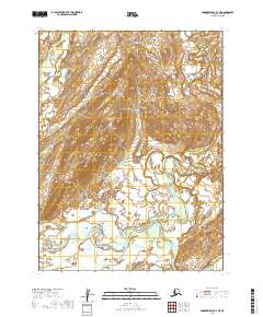
2019 · Goodnews Bay B-3 NE
USGS Topo · 1:25,000
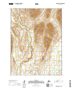
2019 · Goodnews Bay C-3 SE
USGS Topo · 1:25,000
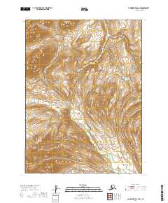
2019 · Goodnews Bay C-3 NW
USGS Topo · 1:25,000
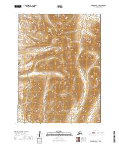
2019 · Goodnews Bay C-3 NE
USGS Topo · 1:25,000