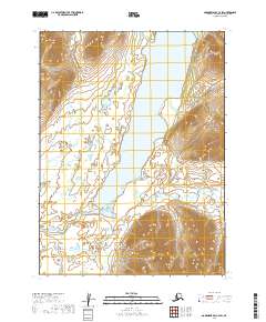
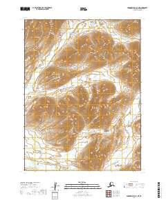
2019 Map of Goodnews Bay C-2 SW
USGS Topo · Published 2019About this map
Togiak Lake dominates the central corridor of this Dillingham Census Area landscape, serving as the headwaters for the south-flowing Togiak River. The geography is defined by significant freshwater drainage systems, where tributaries like Truman Cr and Jondik Cr cut through the terrain to feed the primary basin. The survey illustrates the transition from the high-elevation ridges of the Ahklun Mountains to the expansive lake basin, reflecting a pristine wilderness prior to modern development. The absence of roads or permanent structures emphasizes the remote nature of the region, where travel and subsistence patterns are historically dictated by these watercourses. Smaller streams such as Bruin Cr and W Cr mark the smaller valleys that converge toward the lake, providing a clear picture of the hydrological network in this part of southwestern Alaska.
Find a feature on this map
15 named features on this map. Tap any name to fly to it.
Don’t see what you’re looking for? This feature index may not catch every label — zoom into the map to look around manually.
Map Details
Editions of this 2019 Goodnews Bay C-2 SW Map
This is the sole edition of this map. No revisions or reprints were ever made.
Other maps of this area

1951 · Goodnews
USGS Topo · 1:250,000

1954 · Goodnews B-3
USGS Topo · 1:63,360

1954 · Goodnews C-2
USGS Topo · 1:63,360

1979 · Goodnews Bay B-2
USGS Topo · 1:63,360

1979 · Goodnews Bay C-3
USGS Topo · 1:63,360

1979 · Goodnews Bay
USGS Topo · 1:250,000
2019 · Goodnews Bay B-3 NE
USGS Topo · 1:25,000
2019 · Goodnews Bay C-3 SE
USGS Topo · 1:25,000
2019 · Goodnews Bay C-2 SE
USGS Topo · 1:25,000
2019 · Goodnews Bay B-2 NE
USGS Topo · 1:25,000