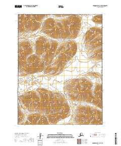
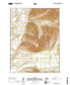
2019 Map of Goodnews Bay C-2 SE
USGS Topo · Published 2019About this map
Ongivinuk River winds through this interior landscape, which is defined by significant elevation changes and high ridgelines across several township boundaries. The 2019 survey documents the intricate drainage systems and watershed patterns of the Dillingham Census Area, showing the headwaters and tributaries that define this roadless region. Small watercourses like Bruin Cr and Sunday Cr cut through the high ground, providing a detailed record of the natural hydrology. This area, largely defined by its topography and lack of human infrastructure, illustrates the untouched terrain within t7s r60w and surrounding townships, where Jonik Cr flows at the southern margins. This map serves as a primary resource for understanding the remote physical geography and hydrographic details of southwest Alaska.
Find a feature on this map
10 named features on this map. Tap any name to fly to it.
Don’t see what you’re looking for? This feature index may not catch every label — zoom into the map to look around manually.
Map Details
Editions of this 2019 Goodnews Bay C-2 SE Map
This is the sole edition of this map. No revisions or reprints were ever made.
Other maps of this area

1951 · Goodnews
USGS Topo · 1:250,000

1954 · Goodnews C-2
USGS Topo · 1:63,360

1979 · Goodnews Bay B-2
USGS Topo · 1:63,360

1979 · Goodnews Bay B-1
USGS Topo · 1:63,360

1979 · Goodnews Bay
USGS Topo · 1:250,000

1979 · Goodnews Bay C-1
USGS Topo · 1:63,360
2019 · Goodnews Bay C-2 SW
USGS Topo · 1:25,000
2019 · Goodnews Bay C-1 SW
USGS Topo · 1:25,000
2019 · Goodnews Bay B-2 NE
USGS Topo · 1:25,000
2019 · Goodnews Bay B-2 NW
USGS Topo · 1:25,000