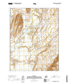
2020 Map of Goodnews Bay A-4 NE
USGS Topo · Published 2020About this map
Togiak River dominates this southwestern Alaskan landscape, weaving a complex braided channel through an expansive wetland environment. The river's broad floodplain is characterized by numerous small lakes and an intricate network of sloughs, reflecting the dynamic nature of this water-rich territory. Entering from the north, Gechiak Cr contributes to the vast system of surface water that defines the local geography. The map provides a clear look at the Public Land Survey System divisions, including t11s r65w and t12s r65w, which overlay the terrain as it appeared during the 2020 survey. This perspective illustrates the scale of the river system before it reaches the coastal waters of Goodnews Bay, showing a landscape shaped almost entirely by hydrologic forces rather than human development.
Find a feature on this map
8 named features on this map. Tap any name to fly to it.
Don’t see what you’re looking for? This feature index may not catch every label — zoom into the map to look around manually.
Map Details
Editions of this 2020 Goodnews Bay A-4 NE Map
This is the sole edition of this map. No revisions or reprints were ever made.
Other maps of this area

1951 · Goodnews
USGS Topo · 1:250,000

1954 · Goodnews B-3
USGS Topo · 1:63,360

1954 · Goodnews A-4
USGS Topo · 1:63,360

1954 · Goodnews A-3
USGS Topo · 1:63,360

1979 · Goodnews Bay
USGS Topo · 1:250,000
1979 · Goodnews Bay B-4
USGS Topo · 1:63,360
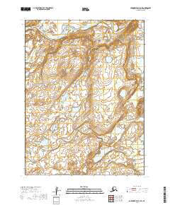
2019 · Goodnews Bay B-3 SW
USGS Topo · 1:25,000
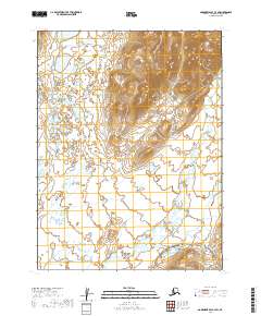
2019 · Goodnews Bay A-3 SW
USGS Topo · 1:25,000
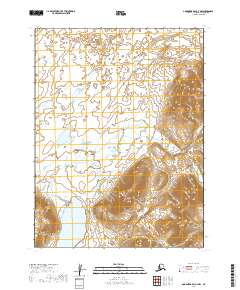
2019 · Goodnews Bay A-3 NW
USGS Topo · 1:25,000
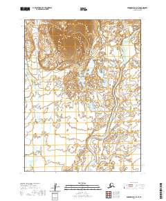
2020 · Goodnews Bay B-4 SE
USGS Topo · 1:25,000