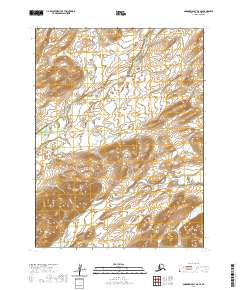
2020 Map of Goodnews Bay B-6 SE
USGS Topo · Published 2020About this map
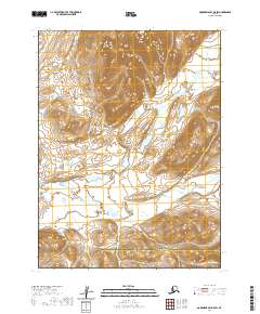
The Goodnews River and its intricate drainage network dominate this part of the Bethel Census Area. The river system, including the Middle Fork Goodnews River and Canyon Cr, carves through a landscape defined by significant elevation changes, as evidenced by the dense contour lines throughout the quadrangle. This area represents a largely undeveloped wilderness within the t10s r70w and t10s r69w townships, where the natural watercourses dictate the geography. The map provides a precise layout of the hydrography as it existed in the early twenty-first century, showing how the smaller tributaries like Canyon Cr feed into the primary river basins. For those studying the hydrology or terrain of southwestern Alaska, the proximity of these river forks provides a clear view of the region's complex water distribution.
Find a feature on this map
9 named features on this map. Tap any name to fly to it.
Don’t see what you’re looking for? This feature index may not catch every label — zoom into the map to look around manually.
Map Details
Editions of this 2020 Goodnews Bay B-6 SE Map
This is the sole edition of this map. No revisions or reprints were ever made.
Other maps of this area

1951 · Goodnews
USGS Topo · 1:250,000

1954 · Goodnews A-6
USGS Topo · 1:63,360

1954 · Goodnews B-6
USGS Topo · 1:63,360

1979 · Goodnews Bay A-5
USGS Topo · 1:63,360

1979 · Goodnews Bay B-5
USGS Topo · 1:63,360

1979 · Goodnews Bay
USGS Topo · 1:250,000
2017 · Goodnews Bay B-6 NW
USGS Topo · 1:25,000
2017 · Goodnews Bay A-6 NW
USGS Topo · 1:25,000
2017 · Goodnews Bay B-6 SW
USGS Topo · 1:25,000
2020 · Goodnews Bay B-5 SW
USGS Topo · 1:25,000