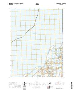
2017 Map of Goodnews Bay B-8 NW
USGS Topo · Published 2017About this map
The Pacific Ocean coastline dominates this 2017 survey of the Bethel Census Area, where the maritime environment meets a complex network of coastal wetlands. The landscape is defined by the transition from open water to the low-lying, marshy reaches of the Alaska coast, punctuated by the drainage of Cripple Creek. The map provides a precise layout of the Public Land Survey System, illustrating the township and range divisions such as t8s r74w and t9s r75w that structure this largely uninhabited coastal region. This data reflects the modern topographical state of a remote shoreline where tidal influences and seasonal shifts continually reshape the terrain, offering a clear view of the interface between the sea and the subarctic tundra.
Find a feature on this map
7 named features on this map. Tap any name to fly to it.
Don’t see what you’re looking for? This feature index may not catch every label — zoom into the map to look around manually.
Map Details
Editions of this 2017 Goodnews Bay B-8 NW Map
This is the sole edition of this map. No revisions or reprints were ever made.
Other maps of this area

1951 · Kuskokwim Bay
USGS Topo · 1:250,000

1951 · Goodnews
USGS Topo · 1:250,000

1954 · Kuskokwim Bay
USGS Topo · 1:250,000

1954 · Goodnews B-8
USGS Topo · 1:63,360
1954 · Goodnews C-8
USGS Topo · 1:63,360

1979 · Goodnews Bay
USGS Topo · 1:250,000
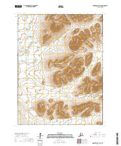
2017 · Goodnews Bay B-8 SE
USGS Topo · 1:25,000
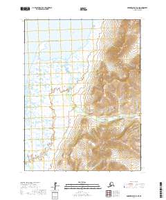
2017 · Goodnews Bay B-8 NE
USGS Topo · 1:25,000
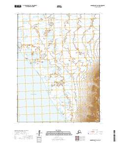
2017 · Goodnews Bay C-8 SE
USGS Topo · 1:25,000
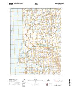
2017 · Goodnews Bay B-8 SW
USGS Topo · 1:25,000