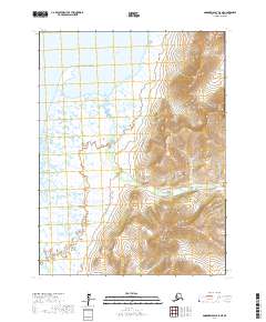
2017 Map of Goodnews Bay B-8 NE
USGS Topo · Published 2017About this map
Jacksmith Bay dominates this coastal landscape where the waters of the Pacific Ocean meet the shoreline of the Bethel Census Area. The topography is defined by significant elevations in the eastern portion of the quadrangle, including the distinct peaks of South Yoke Mtn and Figure Four Mtn. The drainage network is characterized by Jacksmith Cr and Canyon Cr, which navigate the steep gradients between high points like Northeast Twin and Southwest Twin Twin Mtn. This 2017 survey illustrates a largely unpopulated wilderness, focusing on the relationship between coastal marshlands and the rising peaks of the Alaskan interior. The map provides precise documentation of the Public Land Survey System boundaries, including t8s r73w and t9s r74w, which organize this undeveloped coastal stretch.
Find a feature on this map
12 named features on this map. Tap any name to fly to it.
Don’t see what you’re looking for? This feature index may not catch every label — zoom into the map to look around manually.
Map Details
Editions of this 2017 Goodnews Bay B-8 NE Map
This is the sole edition of this map. No revisions or reprints were ever made.
Other maps of this area

1951 · Goodnews
USGS Topo · 1:250,000

1954 · Goodnews B-7
USGS Topo · 1:63,360

1954 · Goodnews B-8
USGS Topo · 1:63,360

1954 · Goodnews C-7
USGS Topo · 1:63,360
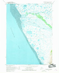
1954 · Goodnews C-8
USGS Topo · 1:63,360

1979 · Goodnews Bay
USGS Topo · 1:250,000
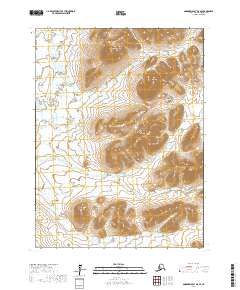
2017 · Goodnews Bay B-8 SE
USGS Topo · 1:25,000
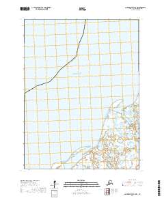
2017 · Goodnews Bay B-8 NW
USGS Topo · 1:25,000
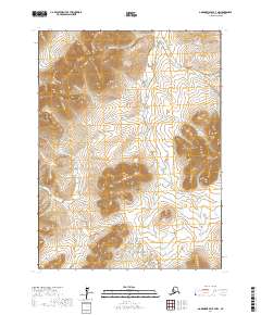
2017 · Goodnews Bay B-7 NW
USGS Topo · 1:25,000
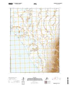
2017 · Goodnews Bay C-8 SE
USGS Topo · 1:25,000