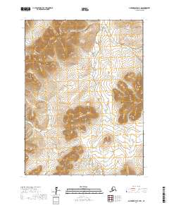
2017 Map of Goodnews Bay B-7 NW
USGS Topo · Published 2017About this map
Figure Four Mtn and Mitlak Mtn dominate this portion of the Bethel Census Area, overseeing a complex network of drainage basins. The landscape is defined by the headwaters of numerous creeks, including McLane Cr, Jacksmith Cr, and Red Lodge Cr, which carve through the high ground. The terrain transitions from these prominent peaks into lower-lying areas marked by Lucky Gulch and the winding paths of Faro Cr and Trail Cr. This topography illustrates the intricate water systems that dictate the geography of this Alaskan wilderness, where small tributaries like Domingo Cr and Colorado Cr contribute to the larger regional drainage patterns. The map provides a detailed view of these natural landforms as they existed in the early twenty-first century, before any significant infrastructure or permanent settlement patterns altered the local environment.
Find a feature on this map
18 named features on this map. Tap any name to fly to it.
Don’t see what you’re looking for? This feature index may not catch every label — zoom into the map to look around manually.
Map Details
Editions of this 2017 Goodnews Bay B-7 NW Map
This is the sole edition of this map. No revisions or reprints were ever made.
Other maps of this area

1951 · Goodnews
USGS Topo · 1:250,000

1954 · Goodnews B-7
USGS Topo · 1:63,360

1954 · Goodnews B-8
USGS Topo · 1:63,360

1954 · Goodnews C-7
USGS Topo · 1:63,360
1954 · Goodnews C-8
USGS Topo · 1:63,360

1979 · Goodnews Bay
USGS Topo · 1:250,000
2017 · Goodnews Bay B-8 SE
USGS Topo · 1:25,000
2017 · Goodnews Bay B-7 NE
USGS Topo · 1:25,000
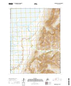
2017 · Goodnews Bay B-8 NE
USGS Topo · 1:25,000
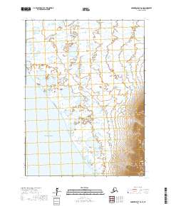
2017 · Goodnews Bay C-8 SE
USGS Topo · 1:25,000