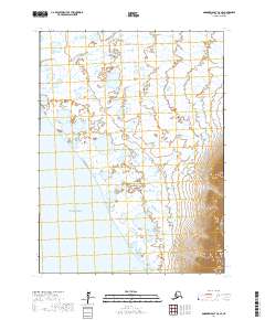
2017 Map of Goodnews Bay C-8 SE
USGS Topo · Published 2017About this map
Pacific Ocean waters dominate the western edge of this coastal Alaskan landscape, where the tides meet a complex network of wetlands and small ponds. The terrain is defined by the sharp contrast between the low-lying marshlands and the sudden elevation of the Kuskokwim Mountains in the southeast. Here, North Yoke Mtn and South Yoke Mtn rise abruptly from the flats, providing the most significant topographic relief in the area. Drainage is primarily handled by Sayalik Creek, which meanders through the northern reaches of the quadrangle toward the coast. To the south, the shoreline curves into Jacksmith Bay, a notable indentation on the coastline. This 2017 survey reflects a largely undeveloped wilderness within the Bethel Census Area, illustrating the raw intersection of the Bering Sea and the Alaskan interior where road infrastructure is entirely absent.
Find a feature on this map
11 named features on this map. Tap any name to fly to it.
Don’t see what you’re looking for? This feature index may not catch every label — zoom into the map to look around manually.
Map Details
Editions of this 2017 Goodnews Bay C-8 SE Map
This is the sole edition of this map. No revisions or reprints were ever made.
Other maps of this area

1951 · Goodnews
USGS Topo · 1:250,000

1954 · Goodnews B-7
USGS Topo · 1:63,360

1954 · Goodnews B-8
USGS Topo · 1:63,360

1954 · Goodnews C-7
USGS Topo · 1:63,360
1954 · Goodnews C-8
USGS Topo · 1:63,360

1979 · Goodnews Bay
USGS Topo · 1:250,000
2017 · Goodnews Bay B-8 NW
USGS Topo · 1:25,000
2017 · Goodnews Bay B-7 NW
USGS Topo · 1:25,000
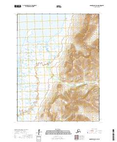
2017 · Goodnews Bay B-8 NE
USGS Topo · 1:25,000
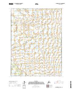
2017 · Goodnews Bay C-7 NW
USGS Topo · 1:25,000